Photometry under the Edithburgh and Wool Bay Jetties is conducted to monitor the health and changes in the underwater ecosystem, particularly in response to environmental stressors like harmful algal blooms.
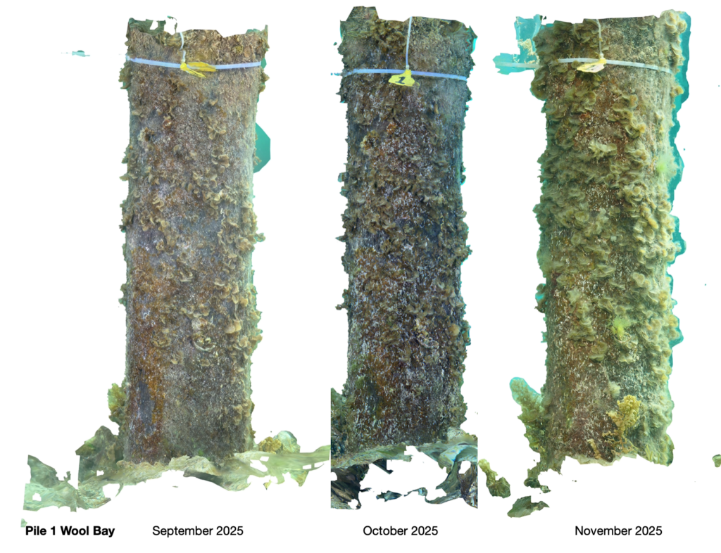
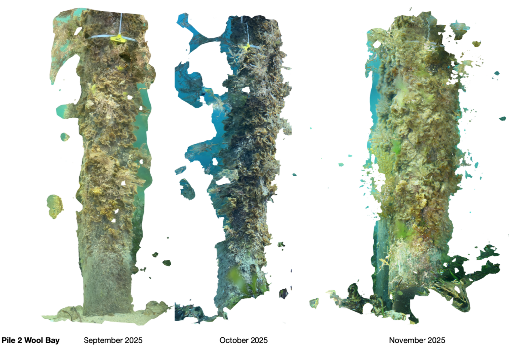
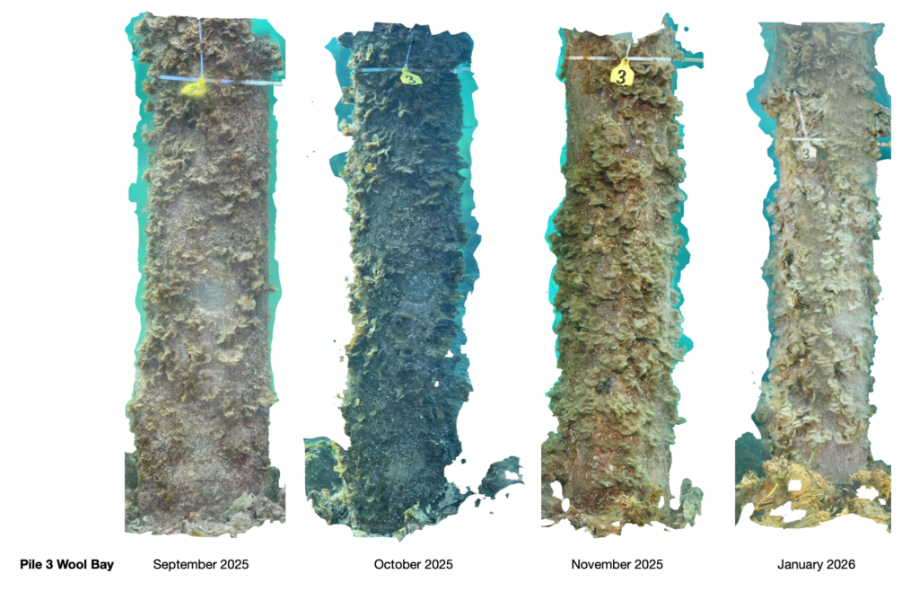
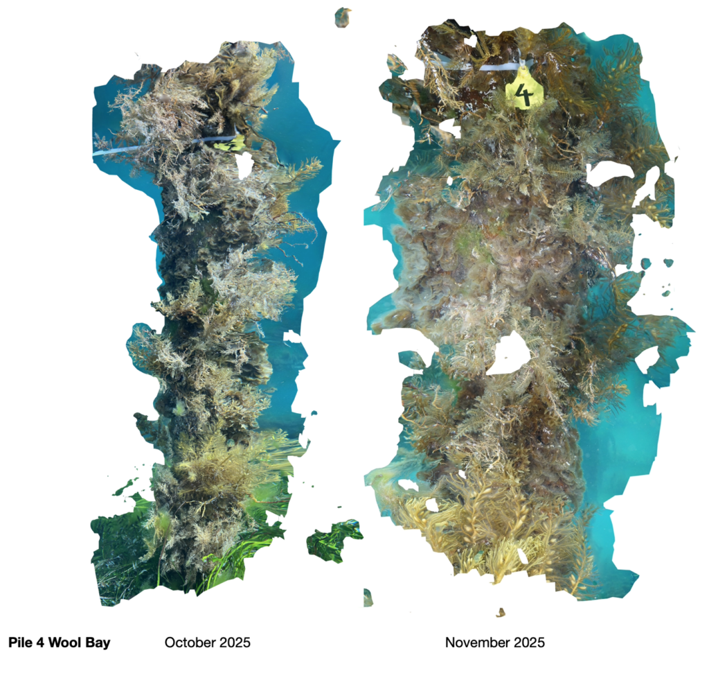
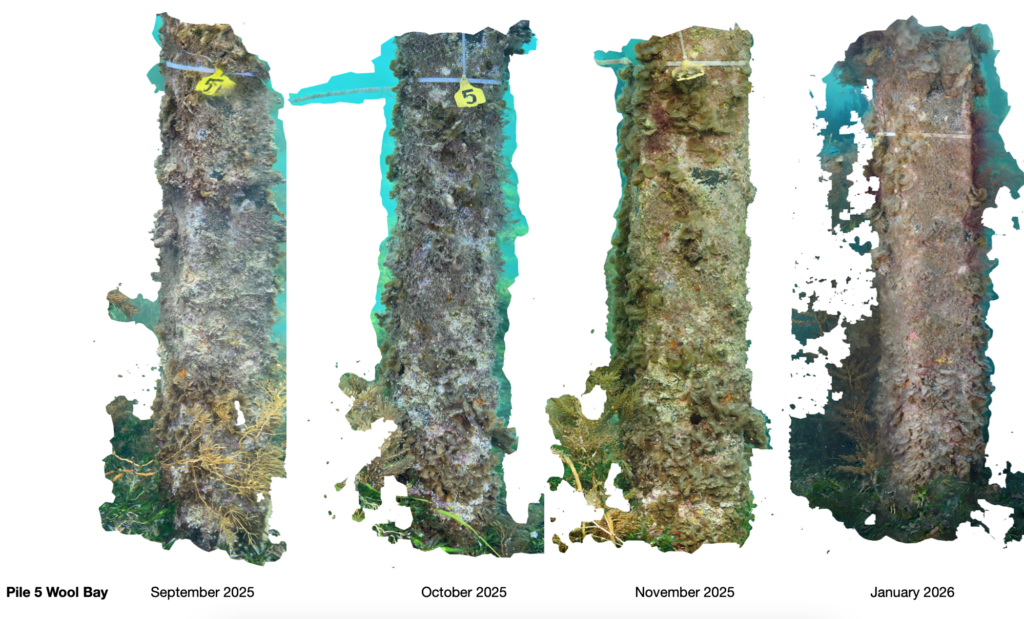
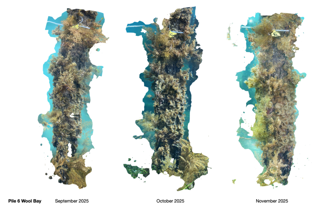
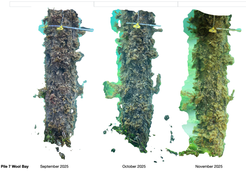
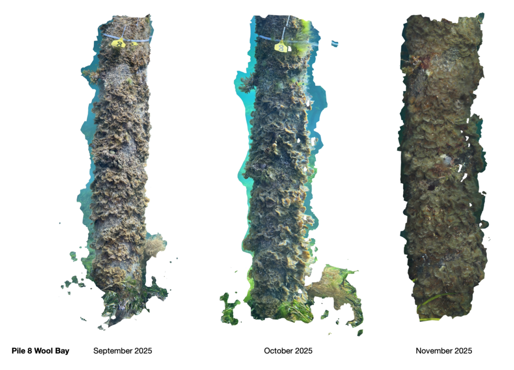
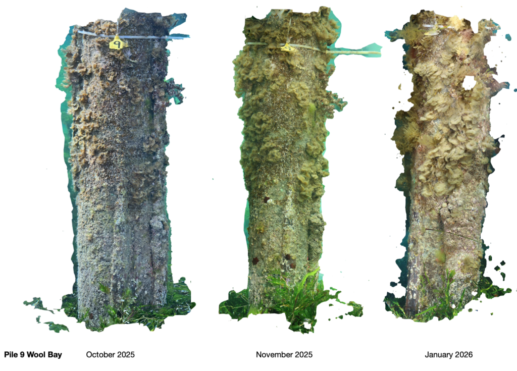
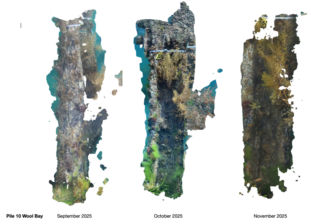
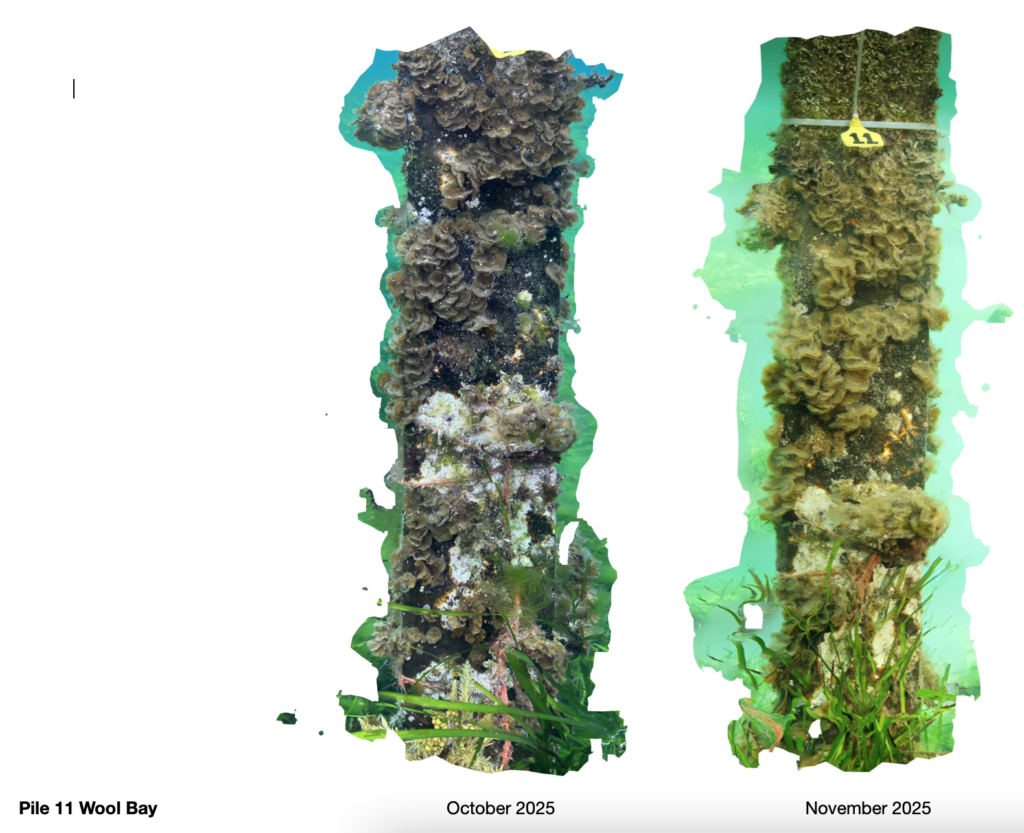
Attached below are the results from our September 2025 – April 2026 photometry of the Piles beneath the Wool Bay Jetty.
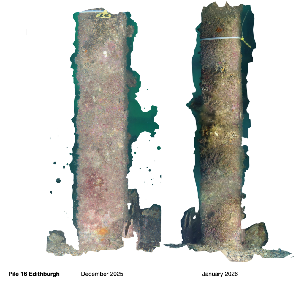
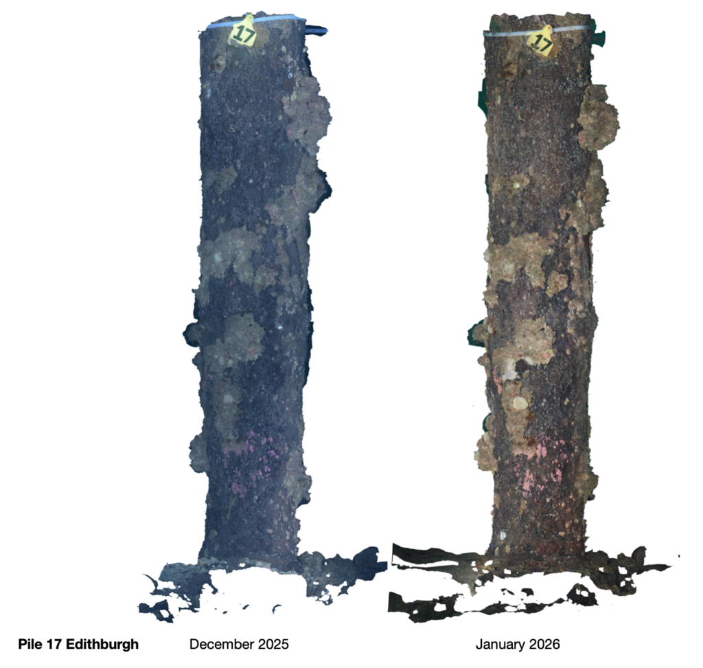
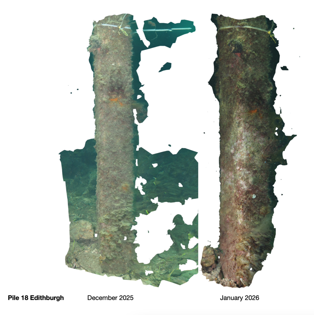
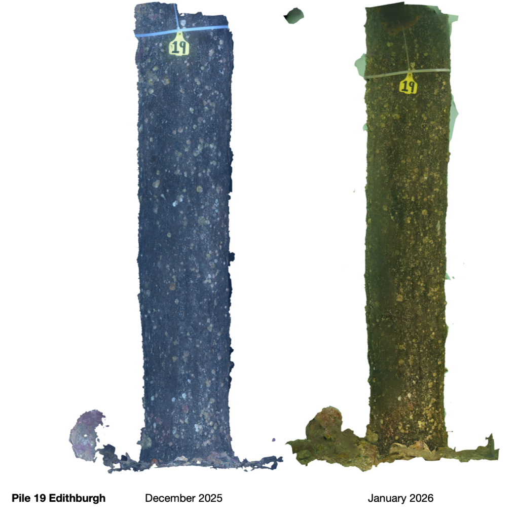
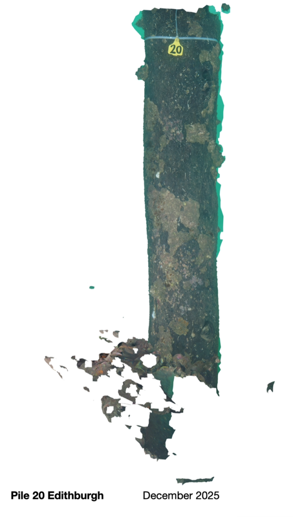
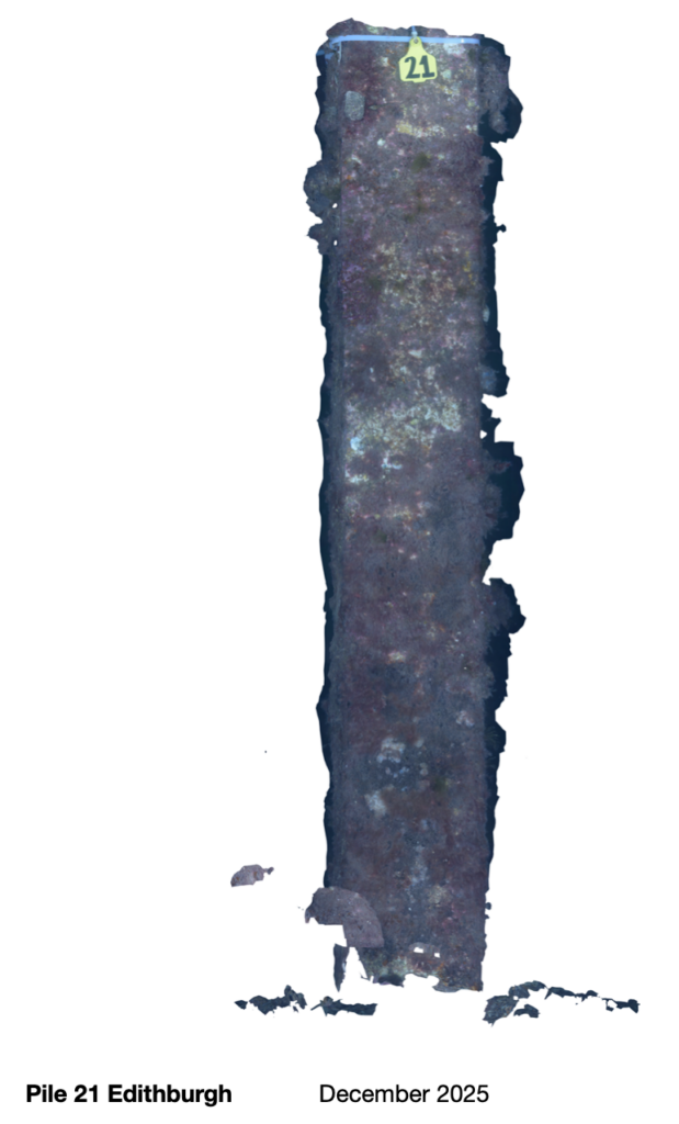
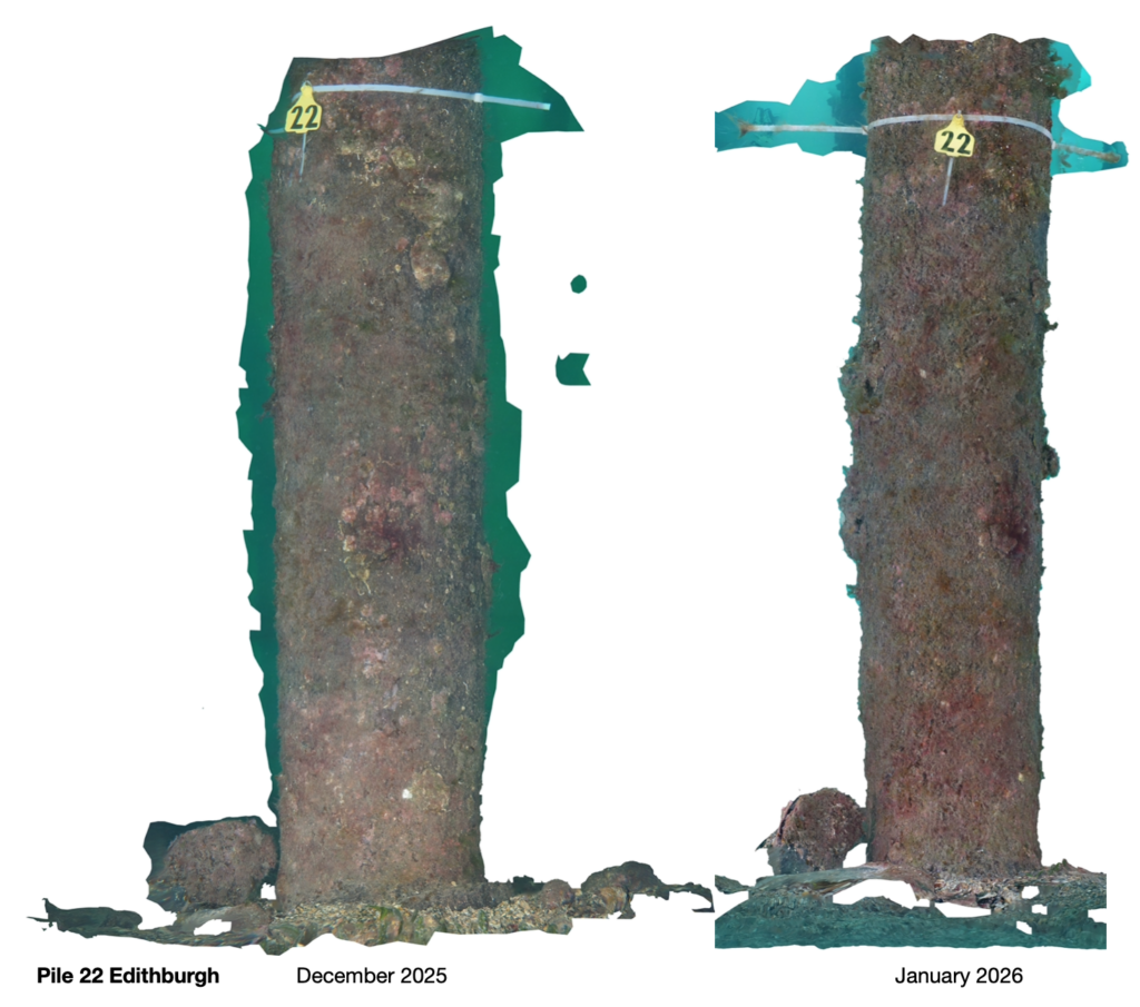
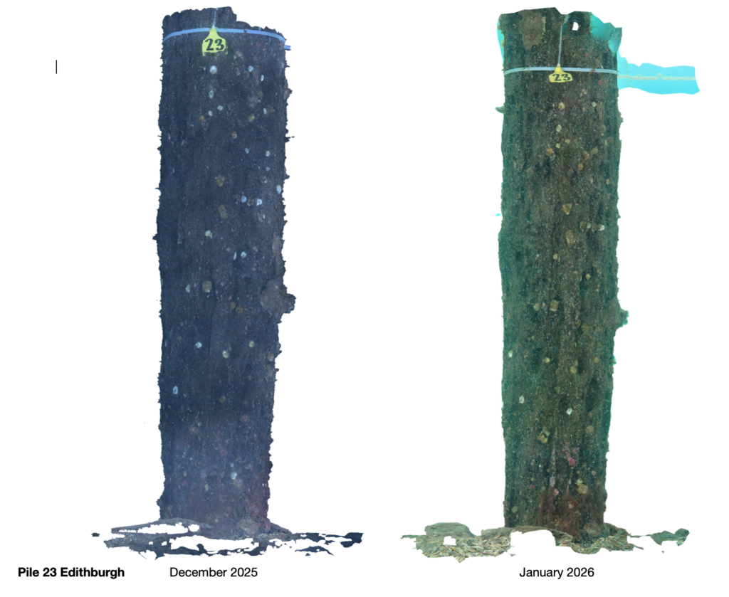
Photogrammetry continues to play a central role in our long‑term monitoring of the Edithburgh and Wool Bay jetties. While the Edithburgh photogrammetry images are currently being processed, we’re preparing to add the December Wool Bay photogrammetry set to the dataset as well.
Earlier in September, photogrammetric images of Piles 7 and 8 at Wool Bay Jetty – originally captured by Troy Johnson – were incorporated into our broader monitoring program. Building on this, we have now expanded the method to systematically document 14 selected jetty piles at Wool Bay. This approach allows us to track both structural and biological changes with exceptional spatial accuracy, complementing our species observations on iNaturalist and our quadrat‑based benthic imagery to begin soon.
As part of our commitment to transparency and community engagement, we are currently updating the website to include monthly photogrammetry image sets. These will offer clearer insights into seasonal patterns, recovery trajectories, and ecological shifts across both jetties.
More photogrammetry from Edithburgh and Wool Bay is on the way. Stay tuned as we continue to grow this visual dataset and deepen our understanding of these dynamic marine environments.
Photogrammetry Update: Wool Bay Jetty:
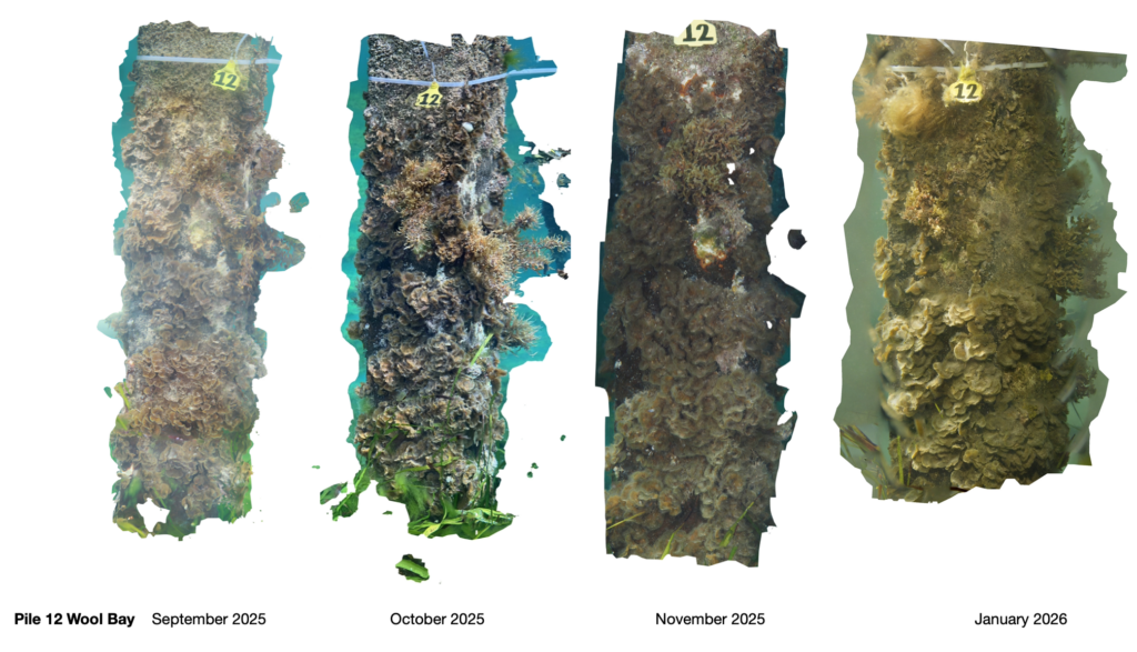
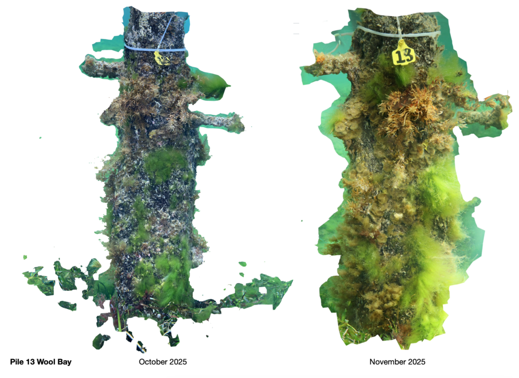
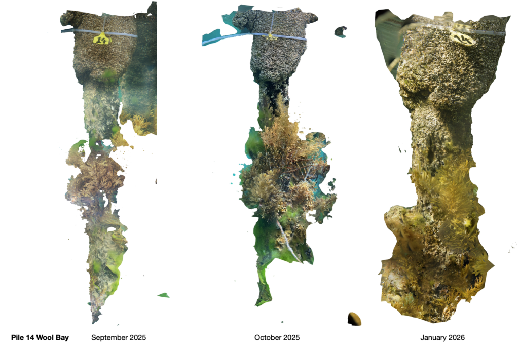
Photogrammetry Update Edithburgh:
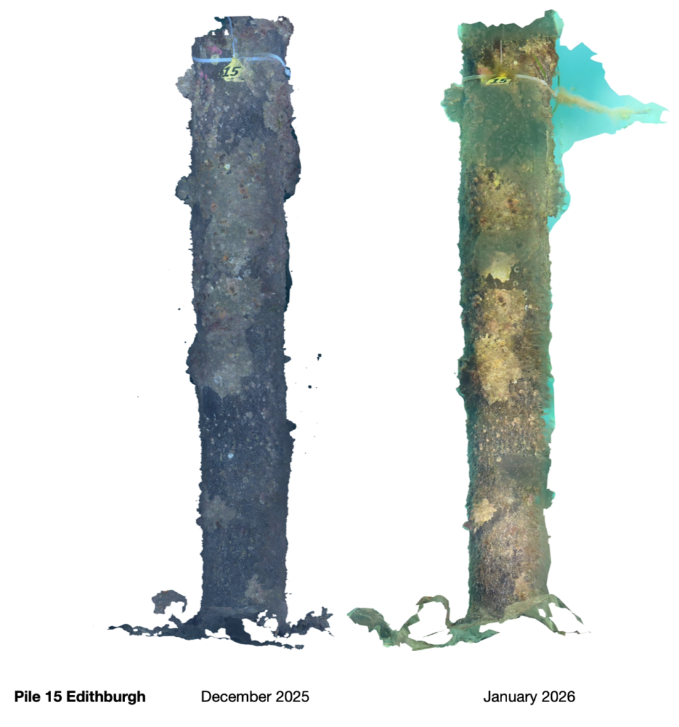
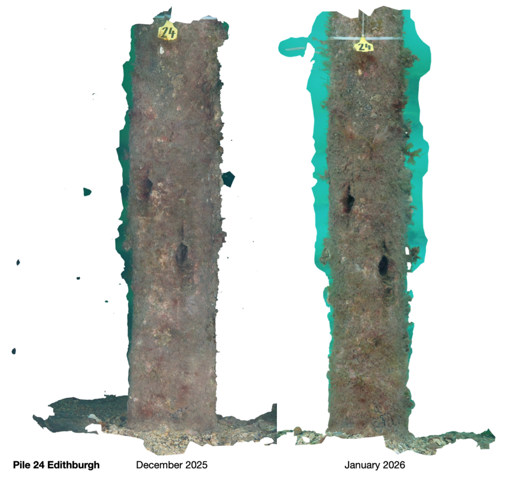
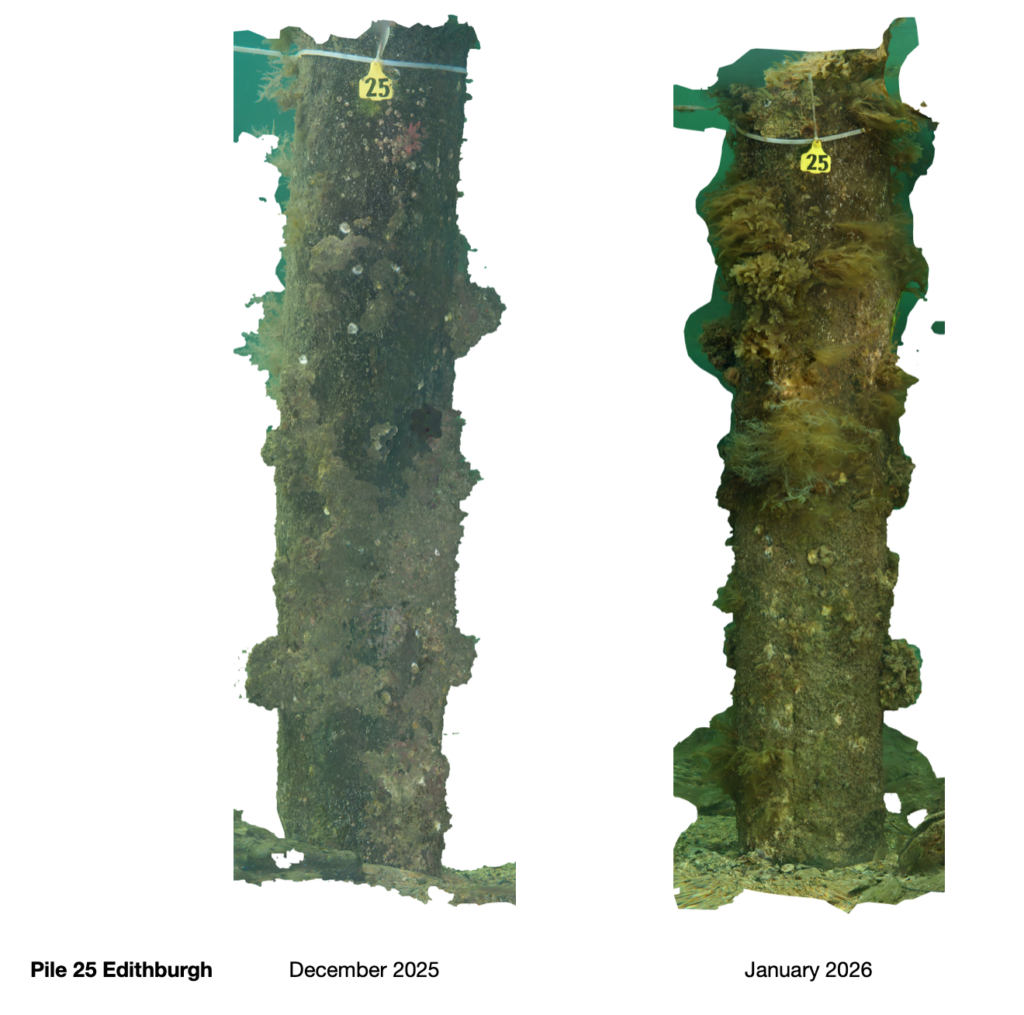
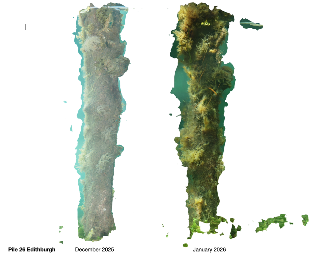
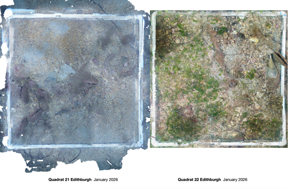
Photogrammetry Quadrats Edithburgh:
Pile 17 Edithburgh 11 April 2026 Photogrammetry – video compilation